deepmatrix
deepmatrix

Transit

Operational IntelligenceFor Public Transit Safety

DeepMatrix helps transit agencies reduce incidents and improve right-of-way safety by turning LiDAR, video, inspections, and asset data into a single, AI-powered safety layer—built for corridor-level prioritization, defensible compliance, and faster response.
Connect With Us

Scroll to view more

Predictive Safety Intelligencefor Transit Operations

DeepMatrix brings together LiDAR, imagery, incidents, inspections, and asset data to detect hazards early, score corridor risk, and drive safety actions with spatial clarity.

LiDAR and Imagery Safety Analytics

Automatically detects clearance risks, obstructions, vegetation encroachment, right-of-way hazards, and platform risks using corridor-scale LiDAR and visual data.

Asset and Incident Intelligence

Reconciles enterprise asset records with on-ground conditions while clustering incidents, hotspots, and near-miss patterns to maintain an accurate, defensible safety baseline.

Corridor Risk Scoring and Incident Intelligence

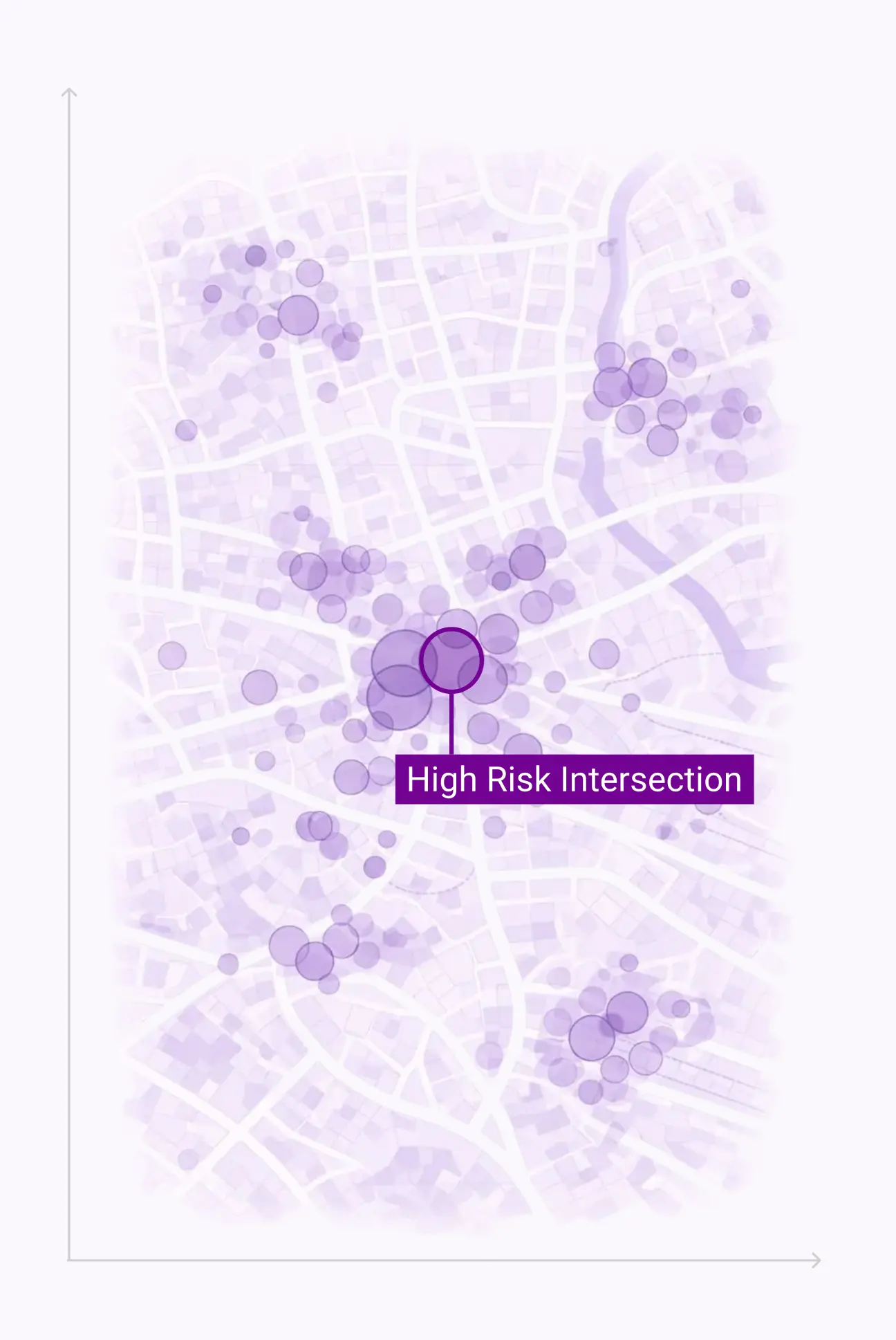
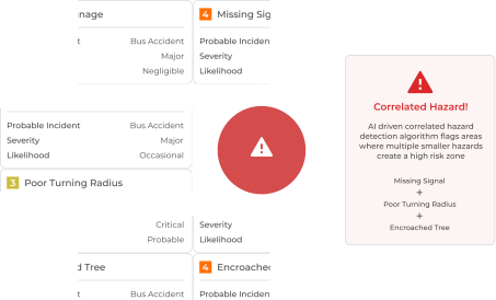
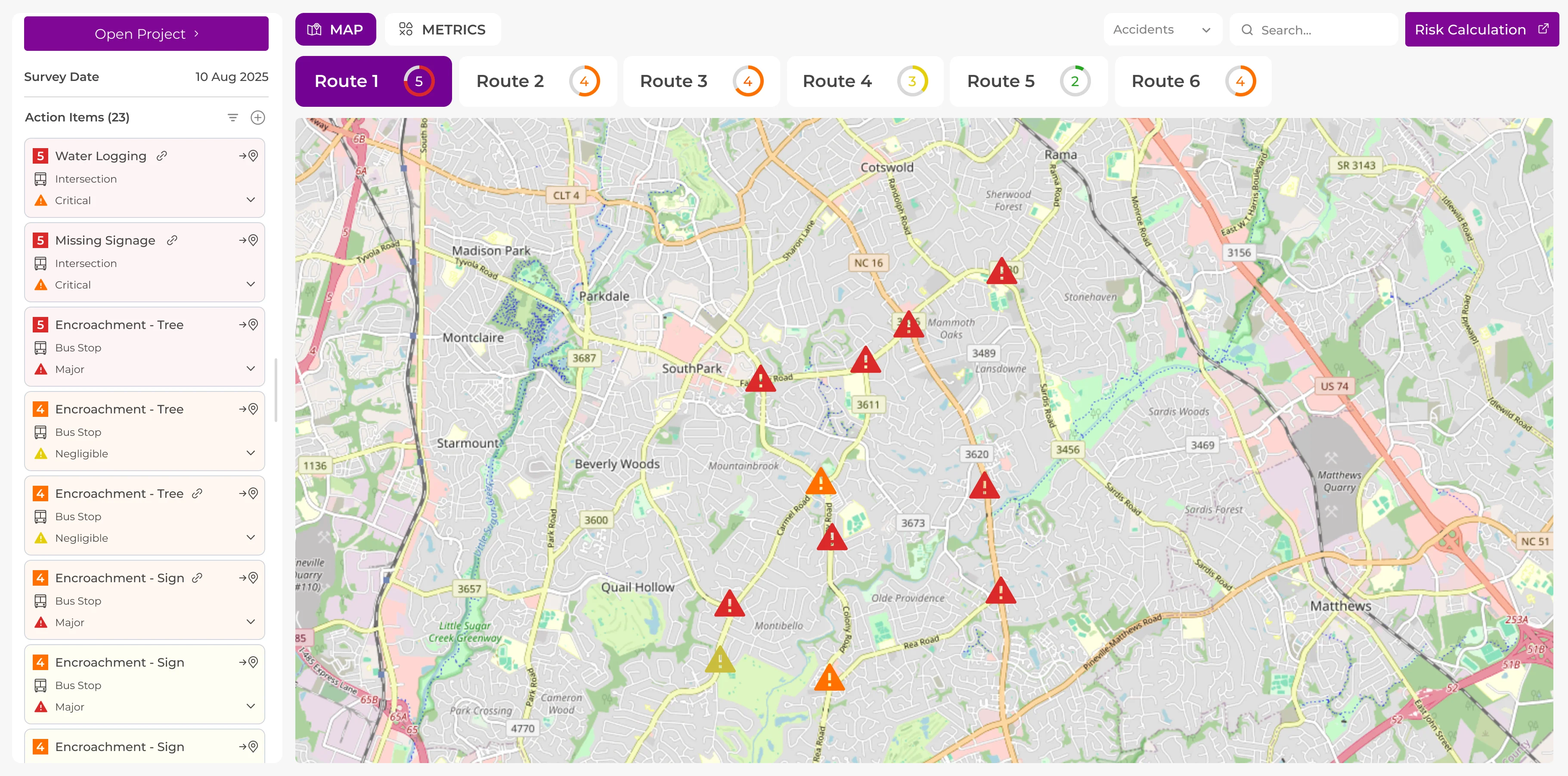
Combines segment-level risk scoring with incident clustering to surface hotspots, recurring events, and near-miss patterns driven by history, assets, environment, and geometry.

Field and Work Order Loop

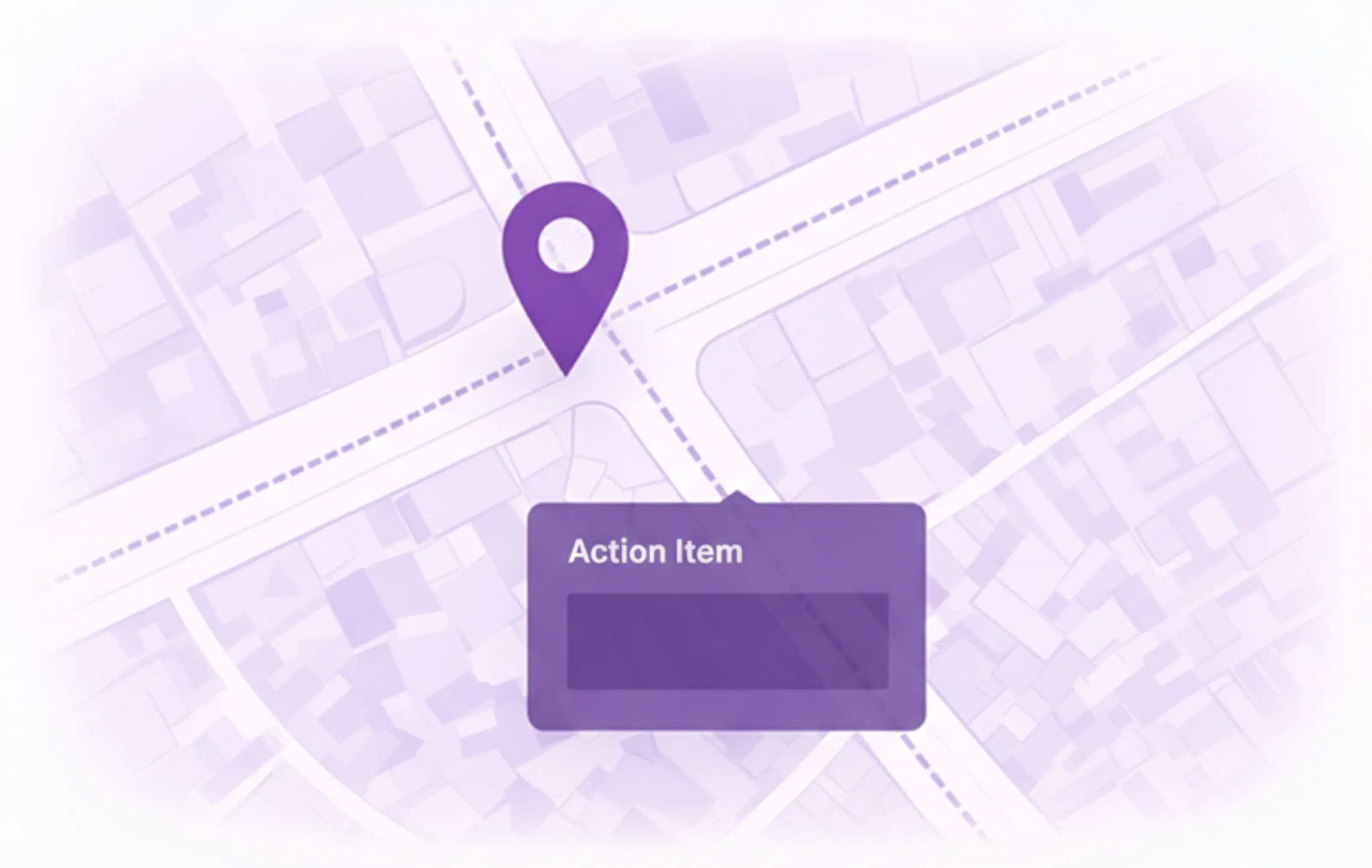
Routes prioritized safety actions into field workflows, tracks closures and remediation, and verifies resolution with spatial and visual evidence.

Executive Safety View

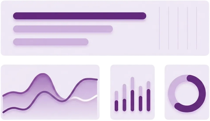
Provides dashboards and AI-generated narrative summaries that communicate corridor risk, trends, and actions to leadership and boards.

Impact Delivered.Safety Outcomes Tracked.

DeepMatrix converts fragmented transit safety data into measurable risk reduction, corridor prioritization, and audit-ready operational outcomes.

Faster Hazard Detection and Prioritization

Measured by automated identification of right-of-way, clearance, and platform risks using LiDAR and imagery, ranked by corridor-level risk scoring.

Corridor-Level Risk Visibility

Achieved through segment-based risk scores and trend analysis that combine incident history, asset condition, environment, and network geometry.

Audit-Ready Safety Evidence

Enabled by traceable records linking detected hazards, inspections, work orders, and verified fixes into a single defensible safety trail.

Scalable Safety Operations

Driven by unified workflows that support bus, rail, depots, and right-of-way assets without duplicating tools or processes.

Tailored Safety Intelligencefor Transit Corridors

Every transit network has unique safety risks. DeepMatrix adapts AI-driven workflows to each corridor, route, and operating context.

Right-of-Way Hazard Detection

Identify obstructions, debris, and encroachments across corridors using LiDAR and imagery, enabling early intervention before risks escalate.

Clearance and Overhead Risk Monitoring

Continuously monitor overhead and clearance conditions to detect violations that threaten vehicle movement, infrastructure, or passenger safety.

Vegetation and Seasonal Readiness

Assess vegetation growth and tree-fall risk with seasonal context to support preventive trimming, storm preparedness, and weather-driven planning.

Platform, Station, and Pedestrian Risk Hotspots

Surface conflict zones around platforms, station access points, and pedestrian interfaces using incident patterns and spatial analysis.

Operational Safety Intelligence

From data ingestion to verified action, every step designed for defensible transit safety decisions.

Ingest
Bring together LiDAR, imagery, GIS, incidents, inspections, and work orders into one system.
Normalize
Align all inputs to routes, segments, mileposts, stops, stations, and asset records.
Analyze
Apply AI-driven hazard detection, corridor risk scoring, and trend analysis across the network.
Act
Route prioritized actions to field teams with verification, traceability, and audit-ready evidence.

Built to IntegrateDesigned for Public Transit Operations

DeepMatrix connects field data, enterprise systems, and operational teams into a single safety intelligence layer without disrupting existing agency workflows.

zoning
System-Ready Integration

GIS, CMMS, and Incident System Alignment

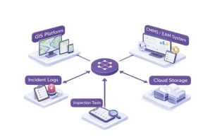
DeepMatrix integrates with existing GIS platforms, CMMS or EAM systems, incident logs, inspection tools, and cloud storage to ensure safety intelligence flows into systems already in use.

zoning
Flexible Data Capture

Agency or Partner-Owned Inputs

Works seamlessly with agency-owned LiDAR, imagery, and inspection programs or with data provided by trusted capture partners, without changing workflows.

zoning
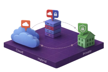
Deployment Flexibility

Cloud, Hybrid, or Private Environments

Supports cloud, hybrid, and fully private deployments to align with agency governance, security requirements, and data residency policies.

Turn safety data into operational decisions.

Book a working session to map your corridors, data sources, and a 60–90 day pilot plan.

Get In Touch

deepmatrix
contact@deepmatrix.io

Industries

Technology

Company

Know More

© 2025 DeepMatrix. All rights reserved.